Create
Creative AssetsTutorialsPricing


More
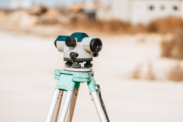

Digital level for geodesy measuring on tripod - Stock Photo & Image
By AndrewLozovyi 7360x4912 px
Stock Photo ID: 320404716
This site is protected by reCAPTCHA and the Google
Privacy and Cookie Policy and Terms of Service apply. from
Similar Royalty-Free Images


Tacheometer for surveying on the construction site. bright color, reliable design, high-quality lens

Optical digital level assembled to level the earth - Marking a contour line on the farm.

Surveyor equipment tacheometer or theodolite outdoors at construction area, builders work in background. concept of construction, designers, instruments.

Optical digital level assembled to level the earth - Marking a contour line on the farm.
Show more