Створити


Функції
Творчі ресурсиВідеоурокиЦіни
Більше
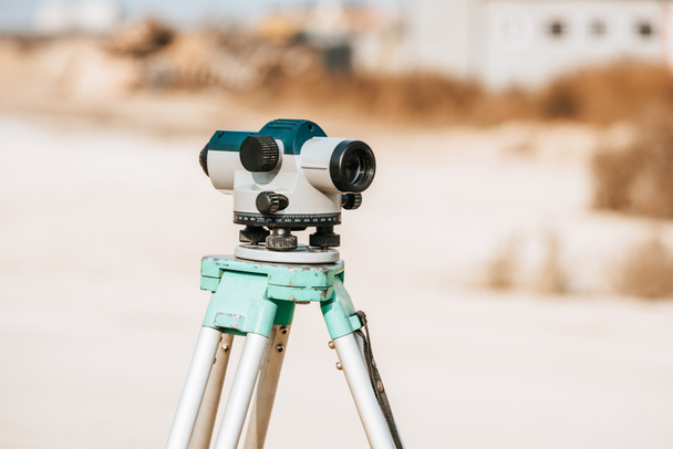

Цифровий рівень для вимірювання геодезії на тринозі - Стокове фото та зображення
Від AndrewLozovyi 7360x4912 пікс
ID стокової фотографії: 320404716
Цей сайт захищений reCAPTCHA.
Політика конфіденційності та використання файлів cookie та Умови використання збережені. із сайту
Схожі ліцензійні зображення


Tacheometer for surveying on the construction site. bright color, reliable design, high-quality lens

Optical digital level assembled to level the earth - Marking a contour line on the farm.

Surveyor equipment tacheometer or theodolite outdoors at construction area, builders work in background. concept of construction, designers, instruments.

Optical digital level assembled to level the earth - Marking a contour line on the farm.
Показати більше